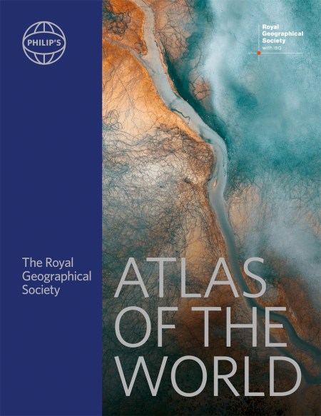
Packed with the latest statistics and filled with clear cartography, the Philip’s RGS Atlas of the World gives a striking view of the Earth’s surface and its many complexities and treasures.
“This atlas brilliantly captures what a precious and impressive place we live in.” Michael Palin
” Beautifully put together, lavishly laid out. In a word – sumptuous!” Tim Marshall author of Power of Geography
“A veritable encyclopaedia of geographic and demographic information, profusely illustrated… Extraordinary.” The New York Times
We open with the latest global picture of energy resources and their exploitation. Who are the big users of fossil fuels? What are the alternatives and where and how is their use growing? We also review the impact of energy use on the environment both now and potentially in the future – oil spills, land clearance and dumping of waste. Using charts, maps, tables and graphs we reveal the current state of the earth.
Exceptional satellite images of the earth convey some of the awe-inspiring wonder of our planet. The latest images include Addis Ababa (Ethiopia), Athens (Greece), Brisbane (Australia), Dublin (Ireland), Houston (USA), Islamabad (Pakistan). Malta, Manaus (Brazil) Québec City (Canada), Réunion, Reykjavik (Iceland), San José (USA), and Victoria Falls (Zambia/Zimbabwe).
The extensive front section contains a Gazetteer of Nations that has been comprehensively checked and updated to include recent economic and political changes. Clearly illustrated with tables and graphs, the introduction to World Geography covers numerous topics of geographical significance, including climate change, oceans and seas, population and cities, conflict and co-operation, energy and minerals, tourism and travel, health, wealth and standards of living.
Depicting both dense urban coverage and near-uninhabited areas of the earth, the hundreds of city and world maps that form the body of the Atlas have been thoroughly updated and include everything from the new railway from Lhasa to Nyingchi (Tibet) to the Kazungula Bridge over the Zambezi.
Sumptuously illustrated and providing the finest global coverage available, the Philip’s RGS Atlas of the World is not only exceptional value for a volume of its size, but also the benchmark by which all other atlases are measured.
“An indispensable reference.” —The Today Show
“This authoritative volume is the standard by which others will be measured.” —Boston Herald
“A page-turning stroll through the continents.” —USA Today
Newsletter Signup
By clicking ‘Sign Up,’ I acknowledge that I have read and agree to Hachette Book Group’s Privacy Policy and Terms of Use


